St. Johns County Flood Vulnerability Assessment Update
- 28 February 2024
- Category: SJC News Infrastructure
- Tags: 2024
At the Feb. 20 Board of County Commissioners (BOCC) regular meeting, the BOCC heard an update on the ongoing Countywide Flood Vulnerability Assessment. St. Johns County was previously awarded a $500,000 grant through the Florida Department of Environmental Protection (FDEP) Resilient Florida Grant Program to fund the development of a Countywide Flood Vulnerability Assessment and preliminary Adaptation Plan. The County previously held a community meeting on Sept. 29, 2023, and provided a survey to the public to receive feedback as part of this vital process.
“The Countywide Flood Vulnerability Assessment is a significant benefit to our community,” said Westly Woodward, Project Manager for St. Johns County. “The findings from this process will help St. Johns County identify critical assets that may be vulnerable to future flooding and establish a plan for building a more resilient community.”
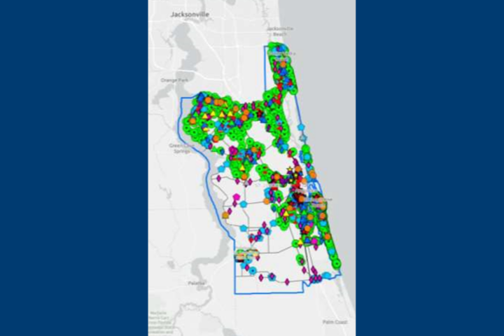
A vulnerability assessment helps a community measure potential impacts from flooding and sea level rise and identify structures, infrastructure, people, and natural resources that may be affected. Through this project, the community will be better informed of the potential loss or damage to critical community assets. Using the information gathered from the vulnerability assessment, the County will be able to formulate an adaptation plan that will include recommendations for projects to make St. Johns County more resilient to flooding and sea level rise, in addition to providing the County with a comprehensive assessment of flood risk. Completing the vulnerability assessment according to criteria outlined in the Florida statute qualifies St. Johns County for additional project funding through the FDEP.
The assessment includes the following components:
- Inventory of Critical Community Assets
- Existing/Future Extreme Event Flood Mapping
- Identification of Community Assets Vulnerable to Flooding
- Prioritization of Vulnerable Critical Community Assets
- Identification of Focus Areas for Adaptation Planning
- Preliminary Identification of Adaptation Strategies/Projects
- Summary Report, Tables, and Flood Maps
Thus far, about 22,000 critical community assets have been identified as part of the assessment through data mined from County, State, and Federal sources.
Asset prioritization is being determined by several components, including the following:
- Frequency of Flooding
- Sensitivity to the Depth of Flooding
- Impact to the Community
- Regional Significance
- Community Feedback Survey
Adaptation Focus Areas have also been identified as part of this assessment process. These include the following areas:
- Anastasia Island from the City of St. Augustine Beach to State Road 206
- Anastasia Island from State Road 206 to Matanzas Inlet
- Anastasia Island from State Road 312 to City of St. Augustine Beach South Boundary
- Vilano/North Beach
- Ponte Vedra
- State Road 16 / Lewis Speedway / Masters Drive
- Low Spots Along County Road 13
- Hastings
- State Road 16 Wastewater Treatment Plant
- County Road 210 at Interstate 95
The next steps in the Countywide Flooding Vulnerability Assessment involve developing the preliminary adaption plan with high-priority projects identified, applying for Fiscal Year 2024/2025 FDEP implementation grant funding for high-priority projects, and continuing adaptation planning with additional FDEP planning grant funding.
Once finalized, the findings of the assessment will be made available on the County website and publicized across St. Johns County digital media platforms.
Stay Informed on St. Johns County news and Sign up for our e-newsletters